Severe weather hits Adelaide: how to drive safely in 100 km/h winds
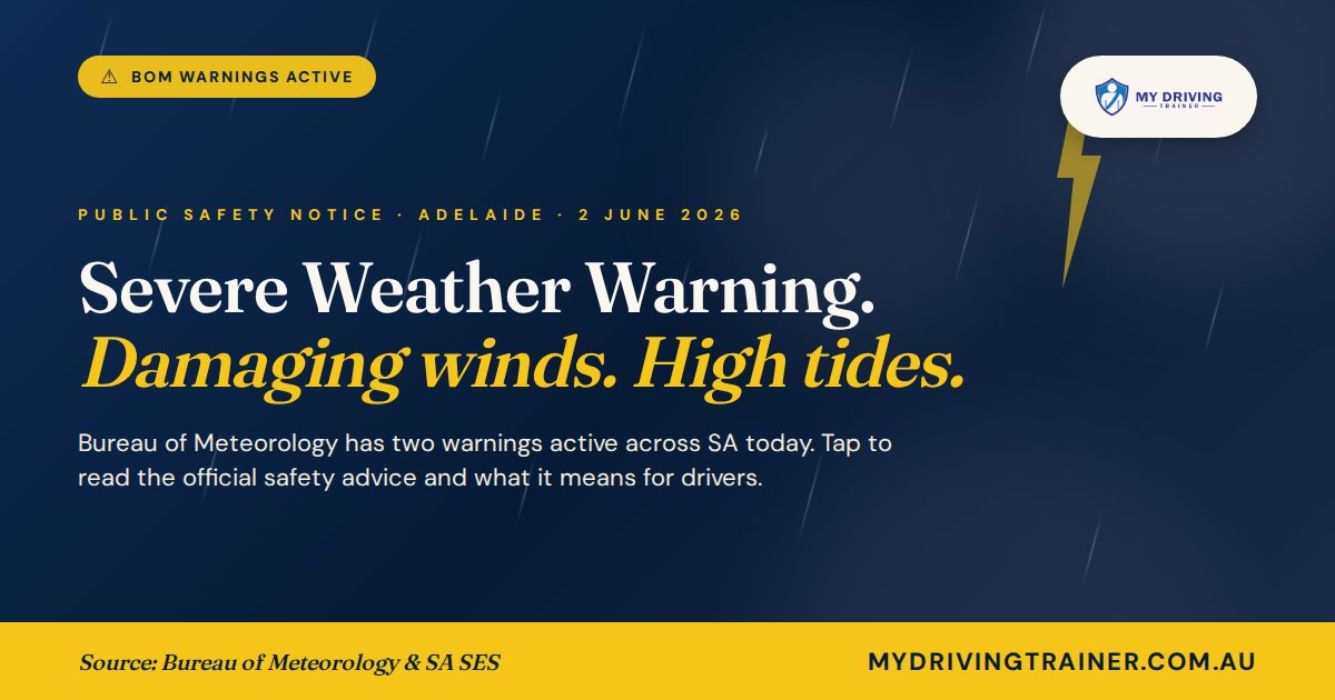
The Bureau of Meteorology has two warnings active across South Australia today: damaging winds with gusts to 100 km/h, and abnormally high tides at Adelaide Metro Beaches. A statewide Severe Weather Response is in place. Here is what it means for drivers, and what to do if you have to be on the road.
Quick read
Two BoM warnings are active for SA today, 2 June 2026: a Severe Weather Warning for damaging winds (gusts to 100 km/h) and a Coastal Hazard Warning for abnormally high tides at Adelaide Metro Beaches and most of the SA coast.
If you can avoid driving, do. If you cannot, the SES advice is clear:
- Move your vehicle away from trees and overhead branches
- Stay clear of coastal roads and low-lying areas this afternoon
- Never drive through floodwater. Stop, turn around, find another route
- Slow down. Brake gently. Increase the gap to the car in front
- Watch for fallen branches, debris on the road, and downed power lines
Emergency assistance: SES 132 500. Life-threatening: 000.
The warnings active right now
⚠ Severe Weather Warning · Damaging winds
Damaging winds averaging 60 to 70 km/h with gusts to 100 km/h. Adelaide Metropolitan, Mt Lofty Ranges, West Coast, Eyre Peninsula, Yorke Peninsula, Flinders, Mid North, Kangaroo Island, Upper and Lower South East, and parts of the Riverland and Murraylands.
A 94 km/h gust was recorded at Cleve early Monday morning, with sustained winds of 68 km/h near Moonta. Possible thunderstorms.
⚠ Coastal Hazard Warning · Abnormally high tides
Tides well above normal Tuesday afternoon across the Adelaide Metropolitan coast, Yorke Peninsula, Kangaroo Island, West Coast, Eyre Peninsula, Mid North, Murraylands, the South East and Flinders coast. Possible local flooding of low-lying coastal roads, foreshores and jetties.
Why this matters if you are driving
Damaging winds do not just feel uncomfortable. At 100 km/h gusts, a high-sided vehicle can be pushed across a lane in a second, branches and debris become airborne, and on exposed roads (the Adelaide Plains, the Expressway, the Port River Expressway, anything elevated) the gusts arrive sideways without warning. Combine that with wet roads from passing showers and reduced visibility, and the stopping distance you would normally count on doubles.
The Coastal Hazard Warning matters because higher than normal tides flood low-lying coastal roads. Once seawater is on the road, you cannot see kerbs, drains, debris, or holes. The SA SES advice on flooded roads is unambiguous: never drive through floodwater. Most flood deaths on Australian roads happen in water shallow enough that drivers thought they would be fine.
✓ SES official safety advice for today
- Move vehicles under cover or away from trees
- Secure or put away loose items around your property
- Stay indoors, away from windows, while conditions are severe
- If you are travelling, take extra care and drive to the conditions
- Never drive through floodwater. Stop, turn around, find another route
- Monitor road closures via SA Police and the SA Department for Infrastructure and Transport
Before you start the car, do these five things
1 Check the BoM and SES sites
Open bom.gov.au/sa/warnings and ses.sa.gov.au before you leave. If there is a fresh warning issued in the last hour, the situation may have got worse since you last checked. The Hazards SA app is the official SES app for live alerts.
2 Walk around the car
Look for fallen branches resting on the roof or wedged between car and fence. Check no debris is jammed under tyres. Make sure your wipers move freely and have not been pinned down by something blown in overnight.
3 Test your wipers and lights before you reverse
Sit in the driver's seat. Switch the wipers through all speeds. Turn the headlights to low beam, then high beam, then check brake lights with a mirror or by reversing toward a wall. Thirty seconds. If anything is not working, today is not the day to leave it.
4 Plan a route that avoids the worst exposure
Avoid coastal roads (Esplanade, Seacliff, Henley Beach Rd west of the Tapleys Hill intersection). Avoid elevated and exposed sections (the South Eastern Freeway descent, parts of the Northern Expressway). Stick to suburban streets where possible, where buildings break up the wind.
5 Tell someone your plan
Send a quick text: where you are going, what route, when you expect to arrive. If you do come off the road or get stuck behind a closure, someone knows where to start looking.
If you must drive, do these things
1 Slow down. Then slow down again.
The speed limit is the maximum in ideal conditions. Today is not ideal conditions. Dropping 10 to 20 km/h below the limit on wet, windy roads gives you the extra time and grip you need when something unexpected happens (and something will).
2 Double your following distance
The normal three-second gap is for dry, clear conditions. Today, make it six seconds. Pick a fixed point (a pole, a sign) and count "one thousand and one" after the car in front passes it. You should not reach the point before "six".
3 Hold the wheel firmly with both hands
Crosswind gusts will try to push the car. The fix is a firm grip at 9 and 3, gentle steering corrections, and your eyes well down the road so you anticipate gaps in shelter (between buildings, where overpasses end) before the gust hits.
4 Use low beam, not high beam
In rain and spray, high beam reflects off the water in the air and back into your eyes. Low beam plus front fog lights (if your car has them) is the right combination. Daytime running lights are not enough, switch headlights on properly.
5 If a branch or power line is on the road, treat it as live
Do not drive over fallen power lines. Do not get out of your car if a line has fallen on it, stay inside and call 000. For branches blocking the road, do not try to move them yourself if they are large, call SES on 132 500.
6 Pull over safely if it gets too much
If visibility drops or you do not feel in control, do not stop in the lane. Find a side street, a service station, a shopping centre car park. Park away from large trees, signage, and powerlines. Wait it out. There is no appointment worth crashing for.
If you need help
For storm damage, fallen trees, or flooding (not life-threatening):
SES 132 500 Emergency 000Life-threatening situations always go to 000. SES handles storm and flood damage.
If you are a learner, today is a thinking day
For learner drivers and provisional drivers, severe weather days are not the day to push for log book hours in unfamiliar conditions. Use today differently. Read through the SA Driver's Handbook section on wet weather and crosswinds. Watch how an experienced driver handles the conditions if you are a passenger. Notice where the wind feels strongest (open intersections, near the river, on bridges) and where it feels weaker (built-up suburbs). That observation work is genuine learning, and it sticks.
When the weather clears, the same roads will feel different. The gust pattern you noticed today, the puddles in the bad camber, the spots where leaves and debris pile up, all of that becomes part of your map of Adelaide as a driver. Tomorrow or the day after is the time for the practical lesson.
Keep learning
If you found this useful, you might also want to read SA licence conditions: how to add or remove glasses, automatic and other conditions (relevant if poor weather is making you realise your night and rain vision is not what it was), and our 10 things examiners actually look for on your SA driving test (hazard perception in wet conditions is one of them).
If you would like a refresher lesson on wet weather and high wind driving, especially before your test, get in touch through our contact page. We run lessons across Adelaide and the eastern suburbs out of Firle.
Sources: Bureau of Meteorology South Australia Severe Weather Warning (IDS21037), BoM Coastal Hazard Warning for SA, South Australia State Emergency Service (ses.sa.gov.au) safety advice, SA Government Severe Weather Response activation (sa.gov.au), Alert SA (alert.sa.gov.au), Glam Adelaide news report 1 June 2026. Wind gust observations from BoM real-time station data. This is an active warning article and reflects conditions as at 2 June 2026. Always check BoM and SES sources directly before travelling. This article is general safety information, not professional driving advice for your specific vehicle or situation.